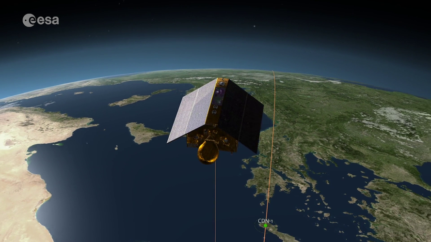
Launched in November 2020, Copernicus Sentinel-6 Michael Freilich Europe’s latest radar altimetry technology to extend the long-term record of sea-surface height measurements that began in the early 1990s. To make sure that any differences between the historical time series and the new data from Copernicus Sentinel-6 Michael Freilich are fully understood, for 12 months after the launch the two satellites orbit in tandem, just 30 seconds apart, following the same ground track. As part of this validation exercise, a transponder in Crete, Greece, acts as an external calibration source. Measurements from the transponder show that the absolute difference between measurements from Sentinel-6 and Jason-3 is less than 2 mm, which is remarkable for two independent satellites operating at an altitude of 1330 km.
Read full story: New sea-level monitoring satellite goes live
See also: Earth Observation Image of the Week: Crete, Greece
Click here for original story, Sentinel-6 and Jason-3 tandem
Source: ESA Top Multimedia