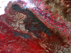
Earth-observing instruments on satellites and aircraft are mapping the current fires, providing data products to agencies on the ground that are responding to the emergency.
Click here for original story, From Space and in the Air, NASA Tracks California’s Wildfires
Source: NASA Jet Propulsion Laboratory
