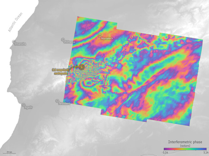
Following the devastating earthquake that struck Morocco on 8 September, satellite data have been made available through the International Charter ‘Space and Major Disasters’ to help emergency response teams on the ground.
In addition, radar measurements from Europe’s Copernicus Sentinel-1 satellite mission are being used to analyse how the ground has shifted as a result of the quake, which will not only help in planning the eventual reconstruction but will also further scientific research.
Click here for original story, Sentinel-1 reveals shifts from Morocco earthquake
Source: ESA Space News