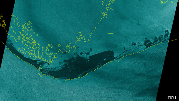
Hurricane Dorian hit Sunday as a Category 5 hurricane and then essentially parked itself over the island.
(Image credit: ICEYE)
![]()
Click here for original story, Satellite Imagery Shows Extent Of Devastating Flooding On Grand Bahama Island
Source: NPR Space News