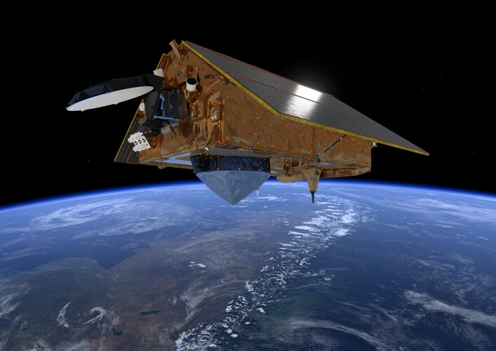
Just like your mobile phone, satellites themselves rely on satellite navigation to find their way in space. Thanks to a new ESA-developed receiver, the recently-launched Sentinel-6 is making use of Europe’s Galileo as well as the US GPS system, a fact set to sharpen the accuracy of its sea level rise measurements.
Click here for original story, Galileo enhancing Sentinel-6’s sea level monitoring mission
Source: ESA Space Engineering & Technology